
Syracuse Neighbors by Block Source
Different records describe different parts of a Syracuse block. GIS is the place to see which parcel polygons touch. Image Mate is the property and tax-detail route. Deed records can trace transfers, while the City permit and code database adds dated property events. Historical directories and census material can add a past household layer, with the date and role clearly marked.
| Source | What it can show about a block | Access and limit |
|---|---|---|
| County GIS | Parcel geometry, adjoining parcels, map context, and identifiers | Public map; exact live tools and layer labels need confirmation. |
| Image Mate | Property and tax context for a selected parcel | Public portal; it does not provide a complete occupant list. |
| County Clerk deed index | Transfers and legal descriptions across parcels | Guest index is available; some images are paid or require counter access. |
| City permit and code data | Dated work, inspection, or compliance events tied to property | Self-service information is stated from 2011; FOIL is the fallback. |
| Voter lookup or file | Individual registration and poll-site checking, or lawful file access | Protected records and election-purpose limits apply. |
| Directories and census | Historical listed occupants and household clues | Dates and missing years matter; use OCPL and archives. |
| City neighborhood page | Sector groups and public contact routes | No comprehensive member roster was verified. |
An ownership record, a directory listing, a voter registration, and a public meeting appearance are separate roles. They should never be combined into an unsupported statement about a household. A parcel boundary is a spatial relationship only.
Map Syracuse Neighbors Through Parcels
The adjacent-parcel method starts by establishing the target parcel in Image Mate, then moves to the map. Select or identify that parcel, record its boundary and identifier, and inspect the polygons that touch it. Pan one parcel width in each direction if needed. The dynamic viewer was not text-readable during research, so its current click, buffer, measure, and layer controls should be verified live instead of assumed.
The Syracuse-Onondaga GIS on the Web viewer is the map source for the parcel step.
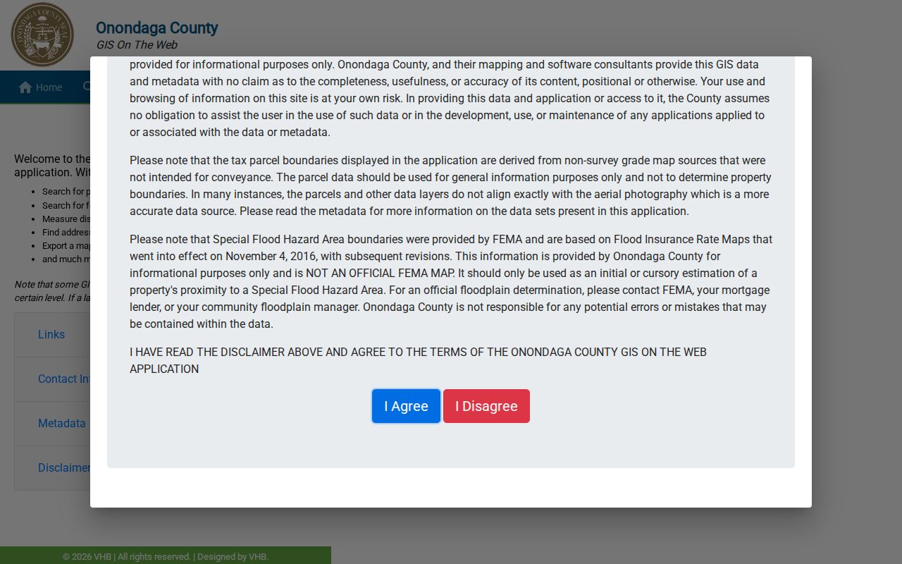
The viewer is best used as a geometry and identification tool. Record the parcel IDs and visible boundaries first. Then return to the property source for each selected parcel rather than treating the map alone as proof of ownership or residence.
Trace Syracuse Neighbors Across Parcels
Keep a small relationship table while working around a block. The safest columns are the target parcel, a touching parcel or compass direction, parcel ID, situs address, any public owner name, any displayed mailing address, and the map source date. Do not add conclusions about family ties, shared affiliation, or who is present at either address.
- Search Image Mate with one known item, such as the property address or parcel identifier, and preserve the target parcel ID.
- Open the county GIS viewer, identify the target polygon, and record each parcel that touches its boundary.
- Carry one parcel ID at a time back to Image Mate. Keep the situs address separate from any mailing address displayed for tax notices.
- For an ownership question, compare the parcel's legal description with deed records and cross references. For a history question, add dated directory or census evidence.
For a full named-street chain rather than the immediate block, use the Syracuse street directory. The street workflow follows address-keyed records over a longer corridor, while this method stays with parcels immediately touching the target.
Syracuse Neighbor Parcel Detail
Image Mate supplies RPS data, tax maps, photographic images, and current tax-bill information according to the county's access description. The county says current owner data comes from assessors and disclaims a guarantee of accuracy, completeness, or currency. Search by owner, situs or property address, or parcel or tax-map identifier, using municipality or ZIP only to narrow a broad result.
The Image Mate Online access page is the source for this property-research entry point.
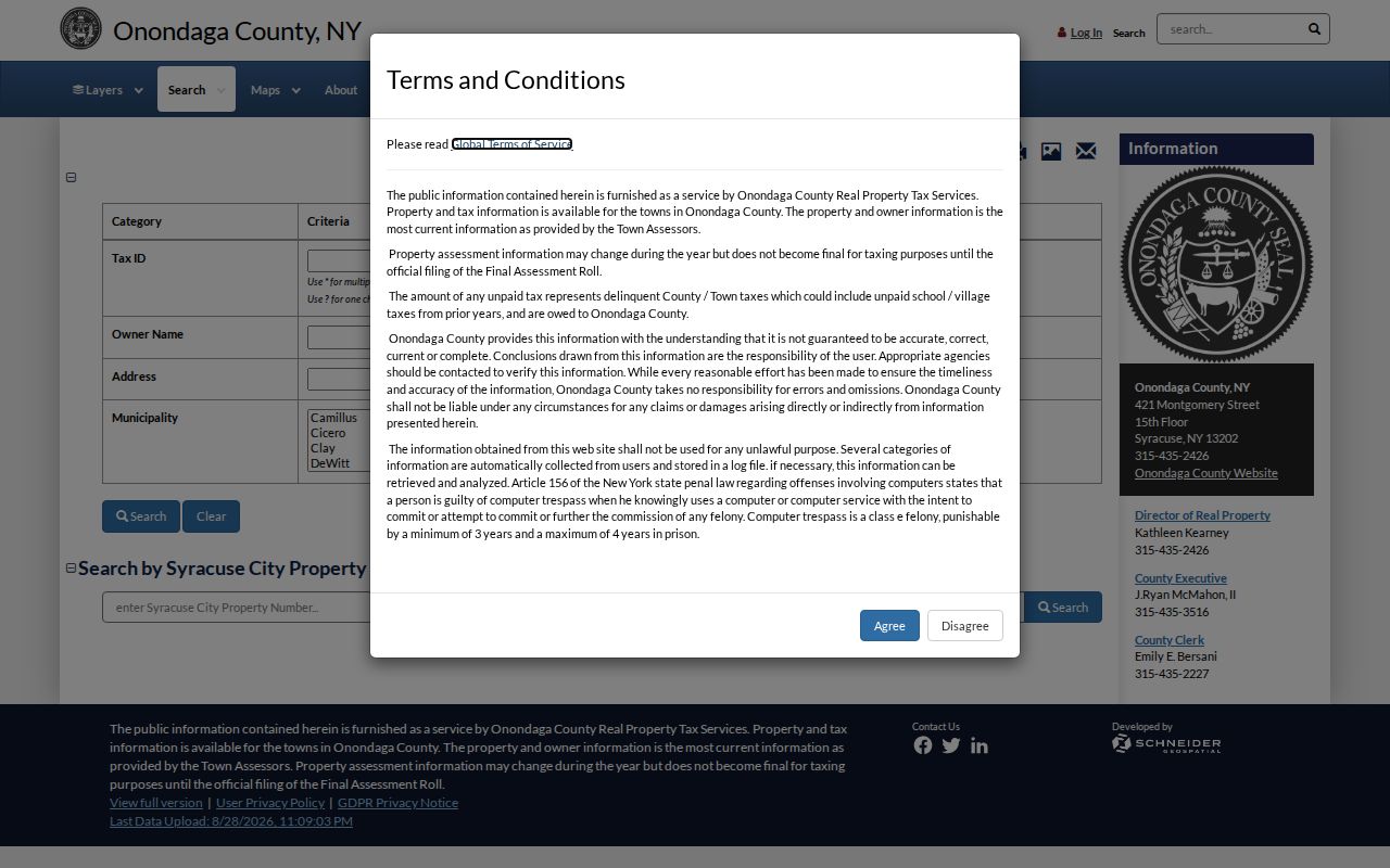
The current research capture is an access and instruction screen, not an opened Syracuse parcel card. Treat it as a route to the property system, and do not assume a particular parcel-card field is visible until it is confirmed in the live record. A tax mailing address can identify an account contact but never proves the person's actual residence.
Syracuse Neighbor Civic Sectors
Syracuse groups neighborhood associations and civic organizations into eight sectors. The City page provides organization names and contact links, which can help a resident find a public community route. It does not publish a comprehensive membership directory. The table therefore names the public association inventory without turning it into a roster of people.
| City sector | Examples named by the City | Public-use limit |
|---|---|---|
| Downtown | TNT Area 1, Armory Square Association, Downtown Committee, Hanover Square Association | Names and links, not a verified member list. |
| Eastside | TNT Area 5, Outer Comstock, Salt Springs, SEUNA, Thornden Park, UNPA, Westcott Community Center | Community contact route only. |
| Eastwood | TNT Area 6, Eastwood Neighborhood Association | Roster status was not located. |
| Lakefront | TNT Area 8 | Sector contact, not a household list. |
| Northside | TNT Area 7, Friends of Schiller Park, Northeast Community Center, NEHDA, Northside Urban Partnership | Names and links, no verified member list. |
| Southside | TNT Area 3, Jubilee Homes, Mercy Works, Syracuse United Neighbors, Dunbar Center | Community organization contacts only. |
| Valley | TNT Area 4, Meachem Area Parks Association | Sector contact, roster status not located. |
| Westside | TNT Area 2, Tipperary Hill, Westside Residents Coalition, SUN, Greater Strathmore | City list, no verified member roster. |
The eight sector labels are useful human geography, not legal parcel boundaries. Downtown, Westside, Southside, Valley, Eastside, Eastwood, Northside, and Lakefront describe a civic engagement overlay. Use the parcel map and the relevant municipal record when the question is a property boundary.
Syracuse Civic Records and Block History
Syracuse Resident Engagement describes Neighborhood and Business Group Support beginning in 1988, small-meeting approaches, Adopt-a-Block, and municipal boards or public minutes. Those are useful sources for civic participation and a dated public role. They are not evidence that every person on a block belongs to a group.
For an older block, the 1852 Onondaga landownership map can be a rare bridge. Library of Congress metadata says it shows buildings and names of occupants and includes a Syracuse map with wards and block numbers. Pair that dated map with directories, census material, and a parcel or deed description rather than projecting a historic name onto the current block.
OCPL's Local History and Genealogy resources bring together directories, obituary material, census film, cemetery cards, WPA files, and local newspaper microfilm for a family-history or reunion trail. Start with an approximate date and address, then label a map occupant, directory entry, obituary relative, or public-role participant by its source and date. That preserves the difference between a past record and a current neighbor claim.
Syracuse Neighbors and Voter Privacy
The New York Voter Lookup is for checking a submitted individual. Its visible inputs include last name, first name, date of birth, county, and ZIP. It is not a block browser. A household can include people who are not registered, may be protected, or may have a status that needs date and context.
A full State Board of Elections file is a separate route requiring a written request and a stated elections purpose under Election Law §3-103(5). Election Law §3-220 makes registration records public under supervision but protects driver-license, non-driver ID, Social Security, and signature-type information. Ballot choices and confidential identifiers are not public.
Syracuse Block Events by Address
City permit and code records are property keyed. Syracuse states that its self-service data for permits and code violations dates to 2011 and includes mapping. A dated permit or inspection can provide property context, but an applicant, owner, or contact in that record is not automatically an occupant. The accessible material did not provide a complete result-field schema, so fields should be confirmed in the live system.
City FOIL instructions provide the fallback route when a historic permit or code record is missing from self-service data. A request should identify the address, date range, and record sought. It is more useful to ask for a permit, inspection, or code event than a vague request for information about everyone at the address.
Syracuse Neighbor Source Comparison
Official public records and commercial neighbor-search categories serve different purposes. Neither is a complete answer to who currently lives on a block. The useful question is what source can document, on what date, and with what limit.
| Source category | Best use | Important limit |
|---|---|---|
| Parcel, assessor, and deed records | Land identity, tax or title relationship, and legal description | Owner or mailing contact is not a household census. |
| GIS map | Touching parcels, geometry, and map context | Spatial adjacency does not prove a shared household. |
| Commercial directory category | A possible lead to verify independently | May carry stale data, same-name merges, copied filings, or inference errors. |
| Community or public minutes | Public civic role or contact route | Association membership is not a resident roster. |
For a personal connection or local-history question, label each fact with its source, date, and role. That keeps an old directory occupant, a current owner, a voter record, and a meeting participant from being treated as the same kind of evidence.
Privacy Limits for Syracuse Neighbors
Private utility customers, delivery records, DMV information, and unlisted household data are not a public block directory. New York's Address Confidentiality Program uses substitute addresses and safeguards actual locations for eligible participants. A substitute address is not a lead to a physical residence, and a protected voter record should not be pursued through ordinary tools.
Lawful personal use. Use public Syracuse records for a specific, lawful personal or civic question. Do not use an address, parcel, or public contact to stalk, harass, intimidate, or harm anyone.
Where the evidence stops, let it stop. Neighbor research can describe a parcel relationship, a public title record, or a dated civic connection. It cannot responsibly fill in private household membership or actual residence from a tax mailing address.